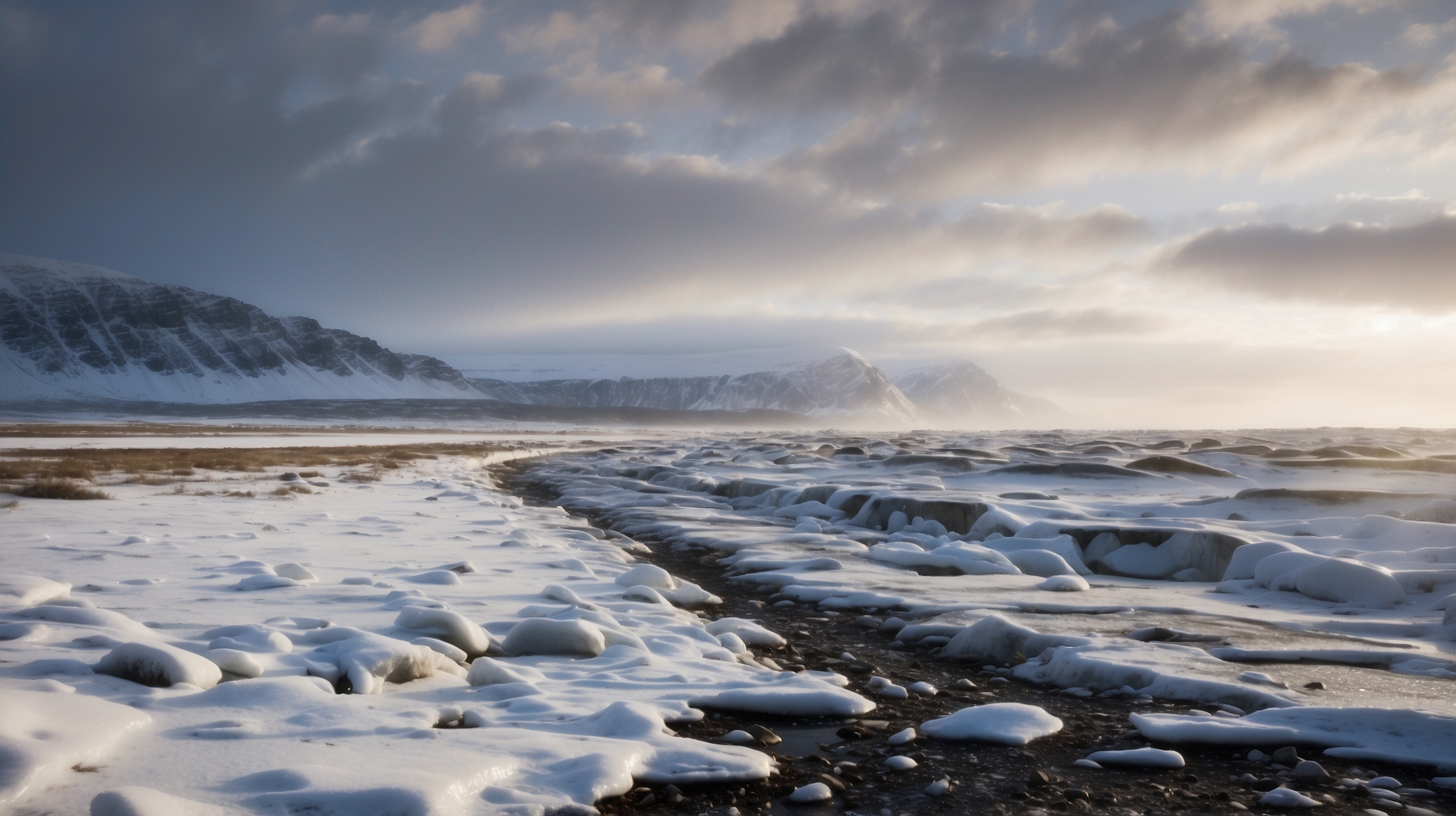
In the heart of December, a startling shift is unfolding across the Arctic skyline—one that has left meteorologists and climate scientists both alarmed and intrigued. For decades, specialists have studied the annual patterns of the polar vortex and Arctic oscillation. But this winter, a strange atmospheric anomaly threatens to upend decades of predictability. The signals of an early Arctic breakdown are not just unusually strong—they’re nearly unprecedented for this time of year.
While most of the Northern Hemisphere prepares for what’s traditionally a slow descent into colder conditions, this season is behaving differently. Rapid shifts in stratospheric temperatures, irregular jet stream movements, and high-latitude blocking patterns are forming now—in December—much earlier than expected. The implications? A potentially turbulent winter ahead, not just at the poles, but across North America, Europe, and Asia. This might not just be a cold snap; it could mark a new chapter in climate behavior, shaped by evolving global conditions.
Key facts you need to know
| Topic | Unusual Early Arctic Breakdown Observed in December |
| Key Concern | Atmospheric signals not seen in decades emerging weeks earlier than usual |
| Primary Cause | Blockage patterns and stratospheric warming linked to jet stream distortion |
| Potential Impact | Extreme cold spells & snowstorms across mid-latitudes |
| Geographical Focus | Arctic, North America, Europe, and Asia |
| First Warning Signs | Sudden atmospheric warming and high-pressure ridging in early December |
Why this December’s Arctic behavior is different
Arctic breakdowns typically begin shaping up in late December or early January, but this year’s configuration is starkly premature. According to veteran climate analysts, several indicators converged by early December, including abnormally high pressure building over Siberia and Greenland, which initiated oscillations in the jet stream earlier than scientists typically observe. Once these distortions form, they tend to linger and amplify cold weather patterns that traverse continents.
For the first time in nearly twenty years, models associated with the Arctic Oscillation (AO) and the North Atlantic Oscillation (NAO) turned strongly negative far earlier than average. These dynamics often correlate with much colder-than-average conditions in temperate latitudes. The unusual behavior is not just significant in timing—it is also potent in intensity, potentially setting the stage for prolonged cold periods and snow-intensive winter events across the Northern Hemisphere.
What changed this year
The early Arctic fracture seems to be fueled by a rare blend of natural variability and compounding climate pressure. One widely observed change is the strength and configuration of the stratospheric polar vortex, which—under normal circumstances—acts like a belt holding cold air over the pole. This winter, however, the belt appears loose and wobbling dramatically.
One major anomaly is a warming event in the upper stratosphere above Siberia. Known as Sudden Stratospheric Warming (SSW), this phenomenon can severely disrupt the polar vortex. Typically, SSWs occur in mid-winter, but this December onset is one of the earliest in recorded history. The result is a domino effect: the weakened vortex pushes the jet stream into an erratic, snake-like shape, permitting frigid polar air to spill deep into mid-latitudes.
“This is among the strongest early-season polar disruptions we’ve seen in decades. The atmospheric signals are lining up for an intense and prolonged cold season.”
— Dr. Emilia Hartmann, Senior Climatologist
How regions across the globe could be affected
The breakdown of Arctic structure doesn’t only impact polar regions. Its ripple effect can stretch as far as the southern United States and Southeast Asia. The dominant concern lies in how the displaced jet stream will behave. When the jet stream weakens or bends sharply, heat and cold masses can migrate in unpredictable ways, allowing blistering Arctic cold to penetrate regions unaccustomed to such extremes.
In North America, forecasts now indicate increased risks of prolonged snowstorms and below-normal temperatures through January. Europe, too, may experience deep cold spells and energy strains, particularly in southern and central countries where infrastructure is less robust against deep freezes. In Asia, China, Korea, and parts of Japan already report colder-than-average conditions, hinting at more to come if patterns persist.
Winners and losers of this Arctic development
| Winners | Losers |
|---|---|
| Utility companies experiencing demand spikes | Homeowners facing spiking heating bills |
| Snow tourism industries (ski resorts, winter sports vendors) | Agricultural sectors facing early frost and planting disruption |
| Military and emergency services honing winter response drills | Municipal governments needing increased snow and salt budgets |
Scientific models and forecasts point to prolonged impact
Advanced meteorological models suggest the impact of this early Arctic breakdown could linger well beyond December. Ensemble projections from reliable forecasting systems like ECMWF and GFS indicate repeated reinforcements of blocking patterns, which tend to stagnate weather systems. Without sustained recovery of the polar vortex, mid-latitude disruptions will likely recur through January and into February.
These forecasts are not without uncertainty. Atmospheric patterns, while increasingly well-modeled, can evolve quickly. However, the concurrence of multiple negative oscillation phases—a rare event—boosts confidence that current theories are not only credible but potentially historic.
“If these oscillations persist for even a few more weeks, the global weather maps will reflect uncommon cold—it’s a situation that demands close monitoring.”
— Prof. Nathaniel Zhou, Climate Systems Analyst
The role of climate change in new Arctic trends
The background influence of climate change cannot be ignored. While short-term weather is not always directly attributable to long-term warming trends, a warming Arctic paradoxically increases the likelihood of colder winter extremes in the mid-latitudes. As the pole warms faster than the rest of the globe—a phenomenon known as Arctic amplification—the atmospheric gradients that stabilize jet streams grow weaker.
This destabilization can foster conditions shown in this December: warm air infiltrates polar zones at the upper levels, while cold air is shunted outward prematurely. Consequently, bizarre patterns like heavy snowfalls in typically dry locales and freak cold attacks become more common even in a progressively warming world.
“Climate change doesn’t mean every winter is mild—in fact, it seems to increase the chances of extreme swings, especially when the Arctic plays such an oversized role.”
— Dr. Mara Singh, Polar Meteorology Expert
What to expect in coming weeks
As the calendar approaches the solstice, weather agencies are issuing renewed advisories anchoring on potential cold-air intrusions in early to mid-January. For those planning travel or dependent on logistics systems, such developments could complicate operations. Delays, hazardous road conditions, and surging energy demand are all on the radar.
Power grids in vulnerable regions will likely face stress tests, especially in places like Texas, parts of Eastern Europe, and northern China. The public is advised to follow official weather briefings, check heating systems, and prepare emergency supplies early. This winter, due to early warning signs, is one worth preparing for with extra attention.
Frequently asked questions about the early Arctic breakdown
What is an Arctic breakdown?
An Arctic breakdown occurs when the polar vortex weakens or becomes unstable, allowing Arctic air to spill into lower latitudes, causing extreme cold outbreaks far from the pole.
Why is this winter’s pattern unusual?
This year’s breakdown formed unusually early in December, driven by atmospheric conditions not seen in decades. This could mean colder, longer, and more disruptive winter weather for many parts of the world.
Which areas will be most affected?
North America, Europe, and Asia are most at risk. Cities in the Midwest U.S., Central Europe, and Eastern Asia could see prolonged cold periods and heavy snow.
Is this linked to climate change?
Yes, indirectly. Though not caused by climate change alone, warming in the Arctic can destabilize jet streams and increase the likelihood of such polar disruptions.
How long will the cold period last?
If current models hold, the cold spells and pattern disruptions could last through January and perhaps extend into February.
What can people do to prepare?
Make sure your heating systems are inspected, keep emergency kits on hand, and stay updated with local weather forecasts and advisories.
Are there energy risks this winter?
Yes, power grids in affected areas may come under pressure due to increased heating demand, especially if cold spells are prolonged.
Does this signal a trend for future winters?
It might. If Arctic amplification continues, similar early-season breakdowns and extreme weather events could become more frequent in coming decades.