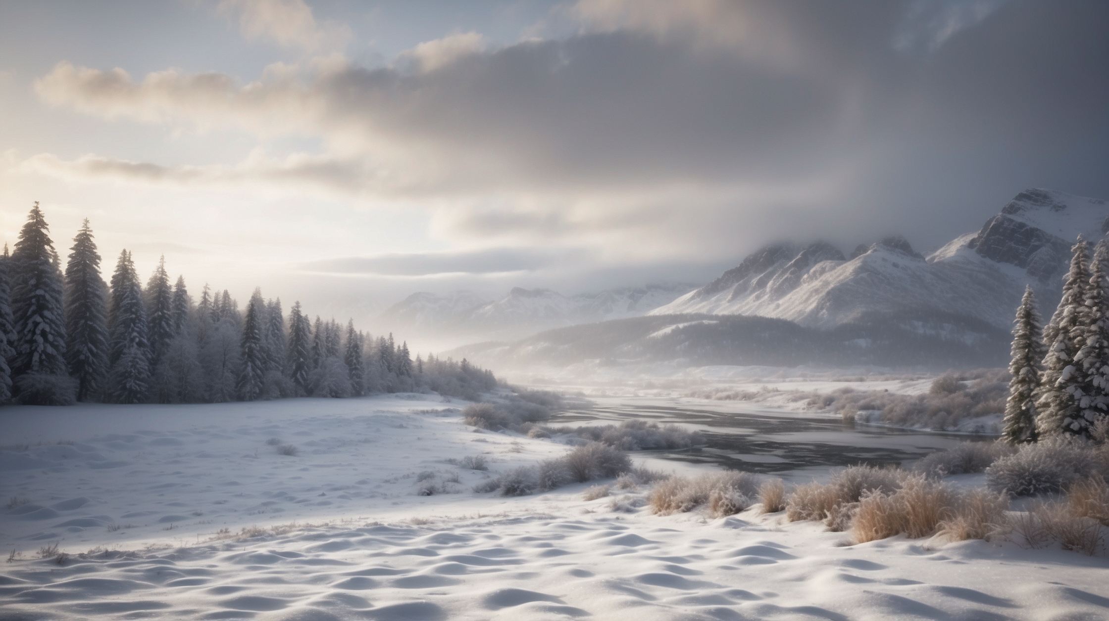
A peaceful winter has taken an unexpected turn for many residents across the northern United States, as meteorologists are ringing alarm bells for what could be a major snowfall event beginning tonight. Images of quiet, snow-coated towns preparing for the holidays may soon shift to more chaotic scenes, with shovels clashing against pavement and snowplows roaring to life in the early morning hours.
The National Weather Service has issued multiple warnings and watches spanning several key states in anticipation of a powerful wintry system moving its way eastward. Snowfall projections are climbing, with potential blizzard-like conditions predicted in certain areas. The storm, part of a large winter front, is already being described as the heaviest snowfall of the season to date in several regions.
For many, this incoming weather not only means picturesque scenery but also real challenges: from transportation woes and delayed flights to school cancellations and dangerous driving situations. Understanding the path, impact, and preparedness measures surrounding this weather system will be key in minimizing disruption and staying safe over the weekend and beyond.
Winter Weather Alert: Key Details at a Glance
| Event | Heavy Snowstorm Forecasted |
|---|---|
| Start Time | Tonight, after 8 PM local time |
| Expected Duration | Until late Sunday night |
| States Affected | Illinois, Michigan, Wisconsin, Minnesota, and Ohio |
| Anticipated Snowfall | 6–15 inches, with local accumulations exceeding 18 inches |
| Weather Advisories | Winter Storm Warnings and Watches in effect |
| Transportation Impact | Flight delays, reduced road visibility, potential road closures |
| Recommended Actions | Stay indoors, prepare emergency kits, avoid non-essential travel |
What is behind the sudden surge in snowfall this weekend
According to meteorological models, a low-pressure system originating in the Pacific Northwest has picked up Arctic air as it moves southeast. This combination of moisture and cold creates the perfect conditions for a prolonged snow event. The cold front is expected to sweep across the Great Lakes region, where moisture from Lake Michigan and other bodies of water will intensify snowfall through the “lake-effect” mechanism.
Forecasters are also highlighting wind gusts of up to 35 mph in some regions, which could result in blowing snow and drastically reduced visibility. These conditions may amount to a whiteout in rural and suburban zones, creating exceptionally hazardous driving situations. In urban areas, this could bring public transportation to a standstill if preventive steps are not taken swiftly.
Regions expected to see the highest accumulations
Forecast models are showing the highest risks for extreme snowfall in parts of central and southern Wisconsin, western Michigan, and northeastern Illinois—including the Chicago metropolitan area. The Detroit and Cleveland areas may also be impacted as the storm continues moving eastward by Sunday afternoon.
Localized snowfall totals of up to 18 inches are possible in lake-adjacent areas where lake-effect bands develop with intensity. Meanwhile, outlying regions such as central Indiana and western Pennsylvania may see lighter but still disruptive snowfall, likely in the range of 4–8 inches.
How transportation agencies and airports are responding
Departments of Transportation across the affected states have activated their winter storm response teams. Thousands of snowplows, salt spreaders, and emergency personnel are being deployed to ensure major highways remain accessible. However, officials caution that during the height of the storm, even treated roads may become impassable or dangerous.
Major airports in Chicago, Milwaukee, and Detroit have already issued travel advisories. Airlines are offering free rebooking options for passengers whose flights may be impacted between Friday evening and Monday morning. Travelers are urged to check flight statuses frequently and prepare for extended delays or cancellations.
“We can’t emphasize enough how serious this event could be. Winter driving conditions may quickly become life-threatening after sunset.”
— Jordan Schuster, Meteorologist
Safety tips for individuals and families during the storm
Officials urge residents in affected areas to take precautions tonight before the snow begins. This includes assembling emergency supplies such as bottled water, non-perishable food, flashlights, medications, and extra warm clothing. Residents with generators should make sure they are functional and safely positioned to avoid carbon monoxide hazards.
Homeowners are also encouraged to clear leaves and debris from gutters and downspouts today to prevent ice dams and manage roof load as snow accumulates. Pet owners should ensure animals are brought indoors or adequately sheltered as temperatures are expected to drop significantly alongside wind chills.
School closures and event cancellations expected
School districts across the Midwest are closely monitoring weather updates and several have already announced preemptive closures for Friday and Monday. Community events, including weekend markets and outdoor activities, are being rescheduled or canceled. Residents should check with local authorities for real-time updates as the situation evolves.
Remote learning options may be reactivated temporarily in some districts, and snow days could be added to the academic calendar unless waived by state agencies. Libraries, community centers, and senior care facilities are adjusting hours or shifting to virtual services where possible.
Winners and losers of the incoming snowstorm
| Winners | Losers |
|---|---|
| Ski resorts, snowmobilers, winter sports enthusiasts | Travelers, commuters, airline carriers |
| Kids enjoying snow days | Small businesses reliant on weekend traffic |
| Utility and hardware stores selling winter supplies | Outdoor event organizers and vendors |
Long-term outlook beyond the weekend storm
Although the brunt of the storm is expected to pass by late Sunday, cooler-than-usual temperatures will linger into the next week, preventing rapid melting of snowpack. This means ongoing cleanup efforts are likely and additional minor snow events could add to the totals. Power outages may persist in areas where wet snow and icy conditions impact lines and trees.
Forecasters warn that this may be the first in a series of more active winter patterns, with the jet stream currently trending southward, ushering additional systems from the Pacific into the Central and Eastern U.S. through December. Residents should stay alert and prepare for potential reoccurrences over the holiday season.
FAQs about the approaching winter storm
When is the snow expected to start?
Snow is projected to begin between 8 p.m. and midnight tonight across much of the Midwest and Great Lakes region.
How much snow will fall in urban areas like Chicago and Detroit?
Urban areas could see anywhere from 8 to 15 inches, depending on the intensity and duration of the storm bands.
Will schools be closed on Monday?
It’s highly likely that many school districts will observe closures on Monday. Please check local school announcements for confirmation.
What should I include in my winter emergency kit?
Include water, high-calorie food, batteries, flashlight, first-aid supplies, blankets, portable chargers, and extra medication.
Is this storm part of a larger winter trend?
Yes, meteorologists believe this storm is the beginning of a pattern that may bring more frequent winter systems in December.
Are airports shutting down entirely?
Airports are currently operational but are expecting major delays and cancelations, especially Friday night through Sunday morning.
What are lake-effect snow bands and why do they matter?
Lake-effect snow occurs when cold air moves over warmer lake waters, generating heavier, localized snowfall—significantly impacting nearby cities and towns.
Should I travel this weekend?
Unless absolutely necessary, authorities strongly urge against travel during the peak of the storm due to dangerous road and visibility conditions.