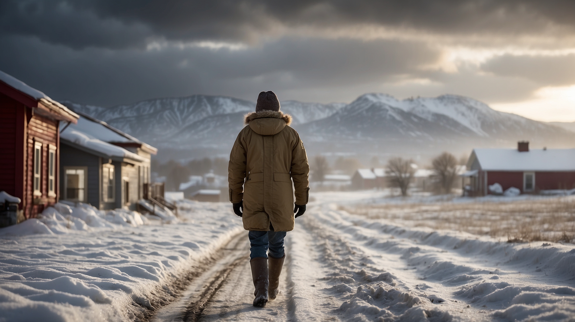
When the air suddenly turns sharp, the skies shift, and winter bares its teeth early, it’s not just a seasonal chill — it’s nature recalibrating. Across the northern hemisphere, meteorologists are sounding the alarm on an unfolding climate twist: an unusually sharp drop in temperatures that could reset the rules of winter. From unseasonable snowfalls to intensifying storms, winter 2024-2025 may not follow the patterns we thought we knew.
Weather models are already detecting heavy anomalies. Atmospheric waves are distorting more deeply, injecting Arctic air masses into regions unaccustomed to such rapid plunges. This isn’t just about colder days. It’s about a potentially transformative impact on where and how winter storms form, travel, and intensify. The early warning signs point to a winter season where historic norms may prove irrelevant.
Communities from the Midwest of the United States to parts of Europe and Central Asia are expected to be affected. The sudden plunges in temperature could upend infrastructure, stress energy systems, challenge transportation networks, and reshape agricultural planning. Understanding this shift could be the difference between readiness and reaction.
So, what lies ahead, and how can we prepare?
Key points to know about the coming temperature plunge
| Aspect | Details |
|---|---|
| What’s happening | Unseasonably sharp drop in temperatures predicted across multiple regions |
| Key concern | Shifting patterns of winter storms and larger snow/ice events |
| Main cause | Disruption in Arctic jet streams and polar vortex alignment |
| Regions affected | North America, parts of Europe, Central Asia |
| When | Winter 2024-2025, beginning as early as late November |
| Who’s at risk | Populations unaccustomed to extreme early-season cold and snow |
What changed this year to trigger such a shift
This winter’s dramatic temperature plunge is not an isolated fluke. Meteorologists point to amplified disruptions in the polar jet stream and fluctuations in the polar vortex. These high-atmosphere phenomena act as highways for cold air. When those highways break down or meander unusually, Arctic air escapes southward — often violently.
Change in the Arctic’s sea ice levels may be another root cause. Less ice alters the temperature gradient between the poles and mid-latitudes, which can stunt or warp the jet stream. Rather than keeping the cold contained at the poles, the jet stream is increasingly spilling frigid air masses into mid-latitude zones.
“We’re observing a pattern where the usual atmospheric boundaries no longer hold. It changes how winter storms develop, and that cascading effect stretches across continents.”
— Dr. Emile Harding, Climatologist
How this will reshape winter storms
Winter storms depend on interactions between cold and warm air masses. A sharper, earlier cold push increases the likelihood of intense systems forming farther south or sooner than normal. This can shift the “storm path” — a term referring to the zones most likely to face heavy snowfall, freezing rain, or ice storms.
Forecasters warn that we may see increased cyclone activity in regions like the southeastern United States, southern Europe, and areas normally shielded from early-season snowfall. This atmospheric reshuffling makes it harder to rely on past storm behaviors as guidance.
Moreover, bursts of intense cold followed by abrupt warming due to jet stream buckling also heighten the risk of flash freeze scenarios and infrastructure strain, particularly on power grids and transit systems.
“The disruptive nature of this cold snap means we’ll likely see inconsistencies — 70°F one week, then a foot of snow the next — across areas that rarely experience either.”
— Maya Lorne, Senior Meteorologist
Regions most likely to feel the impact
While the Arctic is the source of the cold air, the consequences reach far and wide. Here are regions on high alert:
- Midwestern and Northeastern United States: Lower temperatures earlier in the season and stronger storm formations are expected.
- Northern and Central Europe: Patterns suggest higher likelihood of extended cold snaps and late-season snowfall.
- Parts of Central Asia: Large swaths may experience prolonged cold periods with abnormal chill intensity.
- Southern U.S. and Mediterranean regions: Typically milder during early winter, these areas may see surprise frost events and occasional snow due to plunging air masses.
Potential winners and losers of the climate anomaly
| Winners | Losers |
|---|---|
| Winter sports industries with early snowfall boosts | Transportation and logistics networks disrupted by icy conditions |
| Energy providers in short-term due to demand surges | Agriculture sectors impacted by sudden frost |
| Hydrology systems in snow-reliant regions benefiting from improved snowfall | Low-income households facing higher heating bills |
How households and industries can prepare
Preparation begins with recognizing that climate anomalies demand a new playbook. Families should audit home heating systems, insulate exposed pipes, and stock emergency kits that include food, batteries, clothing layers, and medications.
On the industrial level, energy grid operators must watch demand forecasts and ensure systems are prepared for peak loads. Transportation agencies may need to revise snow-clearing schedules and pre-position salt or brine supply stockpiles.
Agricultural sectors face some of the starkest risks. Sudden frost can damage crops prepped for standard seasonal cycles. Producers in southern latitudes should consider localized weather modeling tools and frost blankets where possible.
“Adaptation is the name of the game. This isn’t about extremes in isolation — it’s how quickly those extremes are changing the game for society.”
— Prof. Linh Yi, Environmental Change Analyst
Could this indicate a longer-term climate trend?
While one season doesn’t define a climate trend, this winter’s temperature plunge may be a symptom of a broader climate variability phase. The planet’s systems are increasingly erratic. In ecology, these are known as “punctuated equilibria” — long stable periods followed by sudden change.
That sudden cold this winter could merely be the beginning. Scientists urge ongoing monitoring alongside adaptive planning, rather than treating this as a transitory cold spell.
What to watch next
Keep an eye on early snowfall data, storm tracking models, and regional jet stream maps. Key indicators such as Greenland blocking effects or Siberian snowpack levels may also give additional clues.
This is the sort of winter where preparedness means recognizing that even tradition-bound phenomena like seasons can whip and twist in fresh, sometimes brutal, directions.
Frequently asked questions
How early will the temperature plunge start?
Forecasters suggest late November could see the earliest signs of significant drops, with larger-scale effects unfolding in December and January.
Will this affect all regions equally?
No. Cold air plumes will affect some areas more dramatically than others. Regions closer to the center of the jet stream buckling will see the worst effects.
What can individuals do to stay safe?
Seal windows and doors, service heating units, prepare emergency kits, and stay informed through local weather alerts for sudden changes.
Could we see more snowstorms than usual?
Yes, especially in regions where cold air will meet moist systems. The reshuffled storm paths raise the odds for intense snowfall.
Why is the jet stream so important?
The jet stream determines how air masses travel. When it becomes chaotic, it leads to erratic weather patterns including early freezes and midwinter thaws.
Does this mean climate change is causing colder winters?
Climate change leads to disruptions in predictable patterns. Paradoxically, warming in the Arctic can result in colder winters in other regions due to atmospheric imbalance.
Will energy prices be affected?
Yes. Demand surges for heating may create price hikes or strain energy distribution, especially during cold spikes or snow emergencies.
Are these storms similar to past polar vortex events?
Somewhat. The mechanism may be similar, but the scale, timing, and spread seem broader than many historic instances.