“This February’s stratospheric disruption is particularly concerning because of its early timing and intensity,” says a senior atmospheric researcher at the National Weather Service. “We’re seeing temperature spikes of 40-50°C in the upper atmosphere over just a few days.”
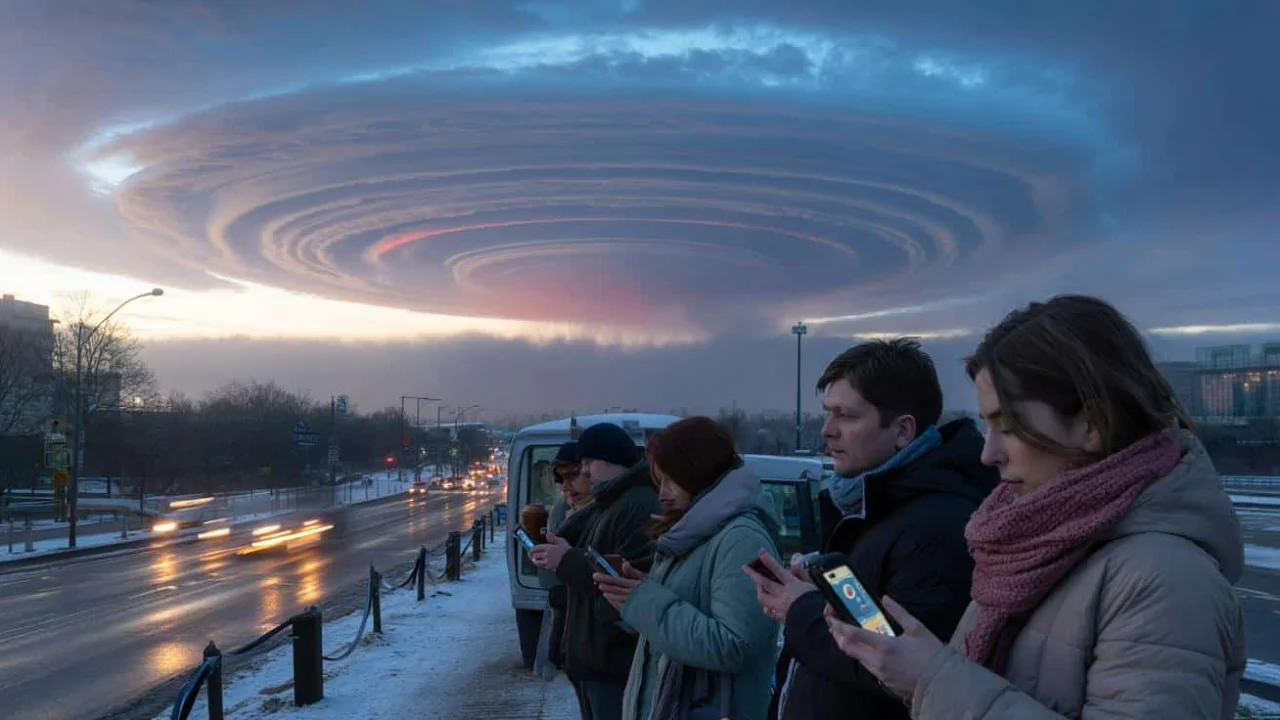
Picture waking up to headlines about a mysterious atmospheric event happening 30 kilometers above your head. The term sudden stratospheric warming sounds like science fiction, but this rare phenomenon is quietly rewriting winter weather patterns across the Northern Hemisphere. While most people go about their daily routines, meteorologists are watching what could become one of the most significant atmospheric disruptions in years.
The atmosphere operates like a delicate clockwork mechanism, and when something breaks in the stratosphere, the effects can ripple down to affect everything from your heating bill to flight delays weeks later. This isn’t just another weather story – it’s a glimpse into how invisible forces high above us can reshape entire seasons.
Understanding the Atmospheric Architecture Above Us
| Atmospheric Layer | Height | Role in Weather | SSW Impact |
|---|---|---|---|
| Troposphere | 0-12 km | Where we live and breathe | Receives delayed effects |
| Stratosphere | 12-50 km | Contains the polar vortex | Where warming occurs |
| Polar Vortex | 15-30 km | Keeps Arctic cold contained | Weakens or splits apart |
Think of the atmosphere as a layer cake where we live in the bottom slice. High above us, in the stratosphere, a massive ring of spinning wind called the polar vortex normally acts like a fence around the Arctic. During a sudden stratospheric warming event, temperatures in this upper layer can spike by 30-50°C in just days, causing this atmospheric fence to buckle or shatter completely.
The polar vortex isn’t just an abstract concept – it’s the reason Arctic air usually stays locked over the North Pole instead of spilling into populated areas. When this system weakens, the cold air that was trapped up north can pour southward like water from a broken dam.
Which Regions Face the Greatest Winter Disruption Risk
- Impact: Northern Europe experiences the most dramatic temperature drops and increased snowfall potential
- Impact: Eastern United States sees elevated chances of arctic outbreaks and nor’easter storms
- Impact: Central Asia faces prolonged cold snaps that can last several weeks
- Impact: Southern regions may experience unusual ice storms and freezing rain events
- Impact: Mountain areas could see exceptional snow accumulation affecting ski resorts and travel
Historical data reveals that certain regions consistently bear the brunt of stratospheric warming effects. The infamous “Beast from the East” that paralyzed Europe in 2018 followed a classic pattern where disrupted polar vortex conditions sent Siberian air masses westward across the continent.
Geography plays a crucial role in determining impacts. Areas normally protected by mountain ranges or ocean currents can suddenly find themselves exposed to Arctic air masses when typical circulation patterns flip upside down.
How Weather Patterns Transform After Stratospheric Events
- Impact: Jet stream positions shift dramatically, redirecting storm tracks away from normal paths
- Impact: Temperature gradients become more extreme, creating conditions for intense winter storms
- Impact: Blocking patterns develop, causing weather systems to stall and persist longer
- Impact: Precipitation types change, with more freezing rain and ice storms in marginal areas
- Impact: Wind patterns reverse, bringing cold air from unexpected directions
“The challenge with stratospheric warming is that it doesn’t just make things colder – it makes them chaotic,” explains a climatologist from the European Centre for Medium-Range Weather Forecasts. “Normal seasonal patterns get thrown out the window.”
The transformation isn’t immediate. Scientists have identified a typical delay of 10-21 days between the peak warming in the stratosphere and noticeable changes at ground level. This lag period is when forecasters work overtime, trying to interpret model data that often shows wildly different scenarios.
What makes this February’s event particularly noteworthy is its early timing. Most sudden stratospheric warming events occur later in winter when the polar vortex is already weakening naturally. An early-season disruption can have longer-lasting effects, potentially influencing weather patterns well into March or April.
Quantifying the Atmospheric Disruption Scale
| Measurement | Normal Winter | During SSW | Significance |
|---|---|---|---|
| Stratospheric Temperature | -60°C to -70°C | -20°C to -10°C | 50°C warming in days |
| Polar Vortex Wind Speed | 100+ mph | 20-40 mph | System becomes unstable |
| Cold Outbreak Probability | 20-30% | 60-70% | Doubled risk for populations |
| Duration of Effects | 3-7 days | 2-6 weeks | Extended impact period |
The numbers tell a stark story about the magnitude of atmospheric disruption during these events. Wind speeds that normally scream around the Arctic at over 100 mph can drop to a gentle breeze of 20-40 mph in a matter of days. This dramatic slowdown is like removing the brakes from a runaway train – the cold air that was contained suddenly has nowhere to go but south.
Energy companies closely monitor these statistics because they translate directly into heating demand and grid stress. A 60-70% probability of cold outbreaks means utilities need to prepare for potential record-breaking power consumption.
Practical Implications for Daily Life and Infrastructure
The ripple effects of stratospheric warming extend far beyond weather maps and scientific papers. Energy grids strain under increased heating demands, with some regions experiencing rolling blackouts when supply can’t match consumption. Transportation networks face cascading delays as airports implement ground stops and highway departments struggle to keep major routes clear.
Agriculture bears a hidden burden during these events. Late-season cold snaps can devastate early crops, while livestock requires additional feed and shelter. The 2018 stratospheric warming event cost European farmers an estimated €1.2 billion in crop losses and increased operational expenses.
Healthcare systems also feel the impact, particularly in urban areas where vulnerable populations may lack adequate heating. Emergency departments typically see increased admissions for hypothermia and carbon monoxide poisoning from improper heating attempts during extreme cold events following sudden stratospheric warming.
Water infrastructure presents another vulnerability. Pipes burst when temperatures plummet unexpectedly, and water treatment facilities can struggle to maintain operations. Cities with aging infrastructure are particularly susceptible to widespread service disruptions.
“The economic impact goes well beyond snow removal costs,” notes a policy analyst who studies extreme weather economics. “When the stratosphere destabilizes, it can trigger supply chain disruptions that ripple through the entire economy for months.”
Supply chains face unique challenges during these events because the disrupted weather patterns don’t follow normal seasonal timing. Shipping companies that planned routes based on typical February conditions suddenly confront ice-bound ports and impassable highways in regions that are usually mild.
Insurance companies have begun factoring stratospheric warming events into their risk models, recognizing that these atmospheric disruptions create claims patterns unlike typical winter storms. The concentrated nature of the damage – hitting multiple regions simultaneously over extended periods – can strain industry resources.
Navigating Information Overload and Media Hype
Social media amplifies the confusion surrounding stratospheric warming events. Viral maps showing apocalyptic temperature drops circulate without context, while conflicting expert opinions create a cacophony of predictions. The challenge for the public lies in separating legitimate warnings from algorithmic sensationalism.
Professional meteorologists face an ethical dilemma when communicating about these rare events. Understate the risk, and communities remain unprepared for potentially dangerous conditions. Overstate the likelihood, and public trust erodes when dramatic predictions fail to materialize.
The key is learning to read forecast uncertainty correctly. When multiple respected weather services begin aligning on similar scenarios, the signal strengthens. When models show wildly different outcomes, it indicates genuine scientific uncertainty rather than forecaster incompetence.
Regional differences matter enormously. The same stratospheric event can bring crippling ice storms to one area while leaving a neighboring region completely unaffected. Local geography, elevation, and proximity to large bodies of water all influence how stratospheric disruptions translate into surface weather.
Frequently Asked Questions About Stratospheric Warming
Does a sudden stratospheric warming guarantee extreme cold in my area?
No, SSW events increase probabilities but don’t guarantee specific outcomes. Only 60% typically produce significant surface impacts.
How quickly do surface weather changes occur after stratospheric warming?
Surface impacts usually begin 10-21 days after peak stratospheric temperatures, sometimes lasting 4-6 weeks total.
Should I modify travel plans based on SSW forecasts?
Monitor specific destination forecasts 5-7 days before travel. Adjust plans only when multiple sources highlight concrete risks.
Why do different weather services give conflicting information about SSW impacts?
Computer models struggle with rare events, creating genuine uncertainty that experts interpret differently based on experience.
How can I prepare for potential impacts without overreacting?
Focus on basic winter preparedness: emergency supplies, backup heating, and flexible arrangements rather than panic purchases.
Are sudden stratospheric warming events becoming more common due to climate change?
Research suggests climate change may affect SSW frequency, but the connection remains uncertain and actively studied.
“The most important advice I give people is to stay informed through official channels and prepare proportionally to evolving guidance,” says a emergency management specialist. “These events test our systems, but communities that plan ahead and stay calm typically weather them successfully.”