“When we see temperatures spike by 40 degrees in the stratosphere within days, we know the winter script is about to be rewritten,” says a senior atmospheric physicist at the National Weather Service.
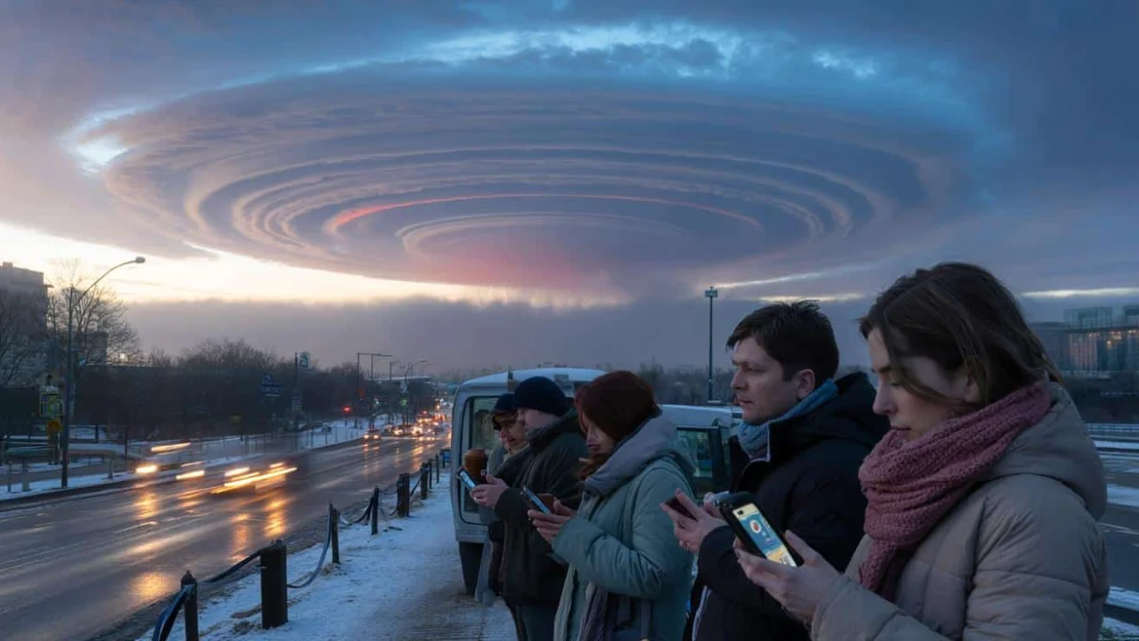
The coffee was still warm in commuters’ hands when the first whispers started spreading through meteorological circles. A rare atmospheric event was unfolding 30 kilometers above Earth, invisible to the naked eye but powerful enough to reshape winter weather patterns across continents. Sudden stratospheric warming had begun, and with it, the delicate balance of our winter atmosphere was about to shift dramatically.
This February’s event stands out not just for its intensity, but for its timing. Early-season disruptions like this can cascade through weather patterns for weeks, potentially affecting everything from heating bills to spring planting schedules across major population centers.
Stratospheric Temperature Dynamics and Surface Weather Connections
| Atmospheric Layer | Normal Winter Temp | During SSW Event | Impact Timeline |
|---|---|---|---|
| Stratosphere (30km up) | -78°C | -28°C to -18°C | Immediate |
| Troposphere (surface) | Variable by region | 10-20°C below normal | 10-21 days later |
| Polar Vortex Strength | Strong, contained | Weakened or split | Days to weeks |
Population Centers Most Vulnerable to Polar Vortex Disruptions
The ripple effects of sudden stratospheric warming don’t affect everyone equally. Historical data reveals clear patterns in which regions bear the brunt of these atmospheric disruptions:
- Northeast United States: Major cities from Boston to Washington D.C. face increased odds of significant snowfall and prolonged cold snaps
- Great Lakes Region: Enhanced lake-effect snow potential as Arctic air masses interact with relatively warm water surfaces
- Northern Europe: From London to Moscow, increased probability of “Beast from the East” scenarios with Siberian air masses
- Eastern Canada: Maritime provinces and Quebec particularly susceptible to extended freezing periods
- Northern Plains: Dakotas through Minnesota experience amplified temperature swings and storm systems
Expected Weather Pattern Modifications Through March
The atmospheric domino effect creates specific changes that residents should understand:
- Temperature Volatility: Sharp temperature drops of 15-25 degrees below seasonal averages lasting 7-14 days
- Storm Track Shifts: Weather systems taking more southern routes, bringing snow to typically milder areas
- Wind Pattern Changes: Increased northerly flow carrying Arctic air masses further south than normal
- Precipitation Timing: Traditional rain-snow lines shifting 200-400 miles south of typical positions
- Energy Demand Spikes: Heating requirements increasing by 20-40% during peak cold periods
“The 2018 event taught us that even well-prepared infrastructure can buckle under the sustained cold that follows a major polar vortex disruption,” notes a climate risk analyst for European energy networks.
Historical SSW Events and Their Measured Impacts
| Year | Peak Warming | Surface Impact | Duration | Economic Cost |
|---|---|---|---|---|
| 2018 | +52°C | Beast from the East | 3 weeks | $1.2 billion |
| 2019 | +38°C | Moderate cold snaps | 10 days | $180 million |
| 2021 | +45°C | Texas freeze disaster | 2 weeks | $195 billion |
| 2024 | +41°C (ongoing) | TBD | TBD | TBD |
Strategic Preparation Guidelines for Extended Cold Periods
Smart preparation doesn’t require panic buying, but it does demand realistic assessment of your vulnerability. Energy experts recommend focusing on the most likely scenarios rather than worst-case extremes.
Home heating systems face the greatest stress during sustained cold periods. Furnace filters should be changed now, and backup heating sources checked for safety and functionality. Water pipe insulation becomes critical when temperatures drop below -10°F for more than 48 hours.
Vehicle preparation takes on added importance during extended cold snaps. Battery performance drops significantly in extreme cold, and emergency kits should include blankets, water, and non-perishable food for potential highway delays during storm systems.
Financial planning includes budgeting for potential utility spikes. Historical data shows heating costs can increase 30-60% during major cold outbreaks, with peak demand sometimes triggering supply shortages and price volatility.
“The key difference between this event and typical winter storms is duration. We’re potentially looking at weeks of disrupted patterns, not just a few days of bad weather,” explains a meteorological consultant for agricultural planning agencies.
Regional Forecast Model Convergence Analysis
The mathematical models meteorologists rely on are showing increasing agreement about this event’s potential surface impacts. European and American forecasting systems are aligning on several key points that weren’t present in previous SSW events.
Most concerning is the consistency across multiple model runs showing a prolonged pattern disruption. Unlike 2019, when models diverged significantly about surface impacts, this year’s projections maintain similar themes through multiple forecast cycles.
The jet stream configuration following this sudden stratospheric warming appears more persistent than previous events. Models suggest the wavy, slower-moving pattern that allows Arctic air to penetrate southward may lock in place for 3-4 weeks rather than the typical 10-14 days.
Infrastructure Stress Points During Extended Cold Events
Power grid operators across vulnerable regions are quietly implementing enhanced monitoring protocols. The combination of increased heating demand and potential equipment failures in extreme cold creates cascading risk scenarios.
Natural gas supply networks face particular strain when demand spikes coincide with wellhead freeze-offs in major production areas. The 2021 Texas event demonstrated how quickly regional energy systems can destabilize under sustained extreme conditions.
Transportation networks experience compounding delays as equipment failures accumulate over extended cold periods. Airlines reduce capacity, rail systems implement speed restrictions, and highway maintenance becomes increasingly challenging as storms stack up over weeks rather than days.
FAQ Section
Does sudden stratospheric warming guarantee extreme weather at the surface?
No, SSW events increase probability but don’t guarantee severe impacts. About 60% lead to significant cold outbreaks.
How long after the stratospheric warming will surface weather change?
Surface impacts typically begin 10-21 days after peak stratospheric warming and can persist for weeks.
Should I change travel plans based on this forecast?
Monitor forecasts 5-7 days before departure. If multiple sources show storm risks, consider flexible arrangements.
Why do weather experts seem uncertain about this event’s impacts?
SSW effects vary significantly by region and depend on complex atmospheric interactions that models handle differently.
How can I prepare without overreacting to weather headlines?
Focus on practical steps like heating system maintenance and emergency supplies rather than dramatic forecasts.
What makes this February’s event different from previous years?
The early timing and strength of warming, combined with unusual background conditions, create higher uncertainty.
“The smartest approach is preparing for sustained cold periods while hoping for moderate impacts. The atmosphere rarely gives us certainty, but it often rewards reasonable preparation,” advises a senior forecaster with the National Weather Service’s Climate Prediction Center.